„You cannot stop progress.“ Clichés? No. It’s a fact. In every aspect of our life. Even in fishing.
About a year ago, I published articles about baitboats in various fishing periodicals, where we focused on necessary parameters for proper bail boat choice, methods of using baitboats, and complete accessories including fish finders and GPS. It has been a couple of months, and today I am introducing another news on the fishing market. Baitboats controlled by the application in a tablet with the built-in 3D mapping feature.
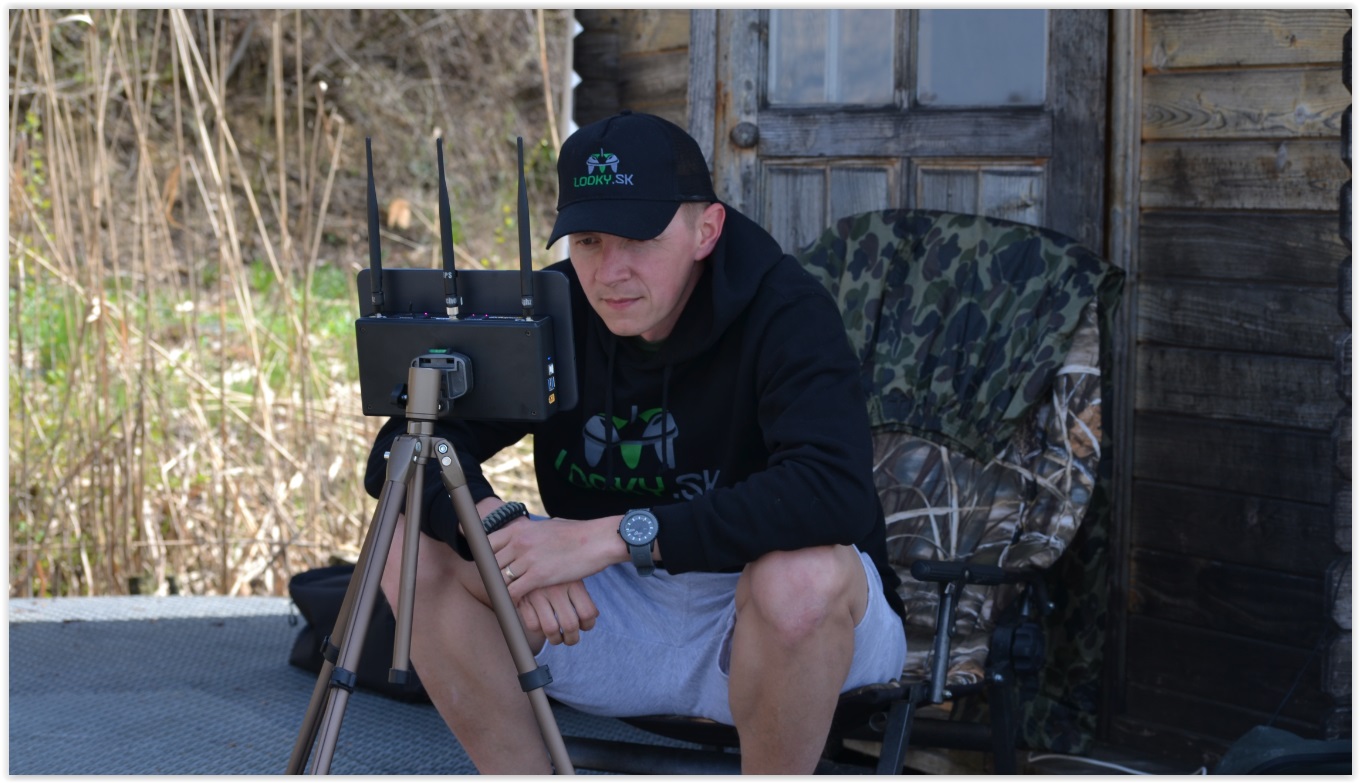
For the last couple of weeks, my fishing buddy is the latest Raymarine Autopilot system from Carplounge. In a nutshell. It is the latest Carplounge RT4 baitboat capable of mapping the water depth while using it, and also creating live maps of fishing areas or the entire water surface you are currently fishing in.
Nothing new in this world – the fish finder owners, who have their „standard“ boats equipped with, will say. Yes, the ability to create 3D maps already exists longer. But we will deal with mapping through a baitboat when the data is transmitted from boat to bank up to a distance of 400-600m. So, while you are unpacking your rods, putting up the bivvies or prepare your mixes, your boat can still map the water surface spreading out before you.
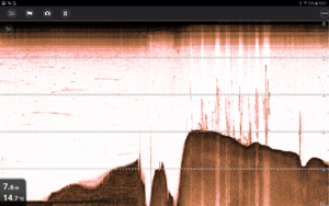
Looking at the fishfinder app while the boat is mapping the selected area
Underwater jungle – Ecsed, Hungary
How does it work? Instead of standard remote control, the boat is controlled by a 10-inch tablet in which the freely available Carplounge GPS Autopilot application is installed. Directly into the app, the manufacturer incorporated Google Earth maps that are regularly updated. So once you get to the water and turn on the app, it will load your current location and display it on the map. In case you do not want to use the internet (data) directly close to the water, you can download the sitemap you are heading to in advance. Upon arrival to the water, it is enough to mark a few points on the map in the tablet, and the boat controlled by autopilot will move between these points and create a map.
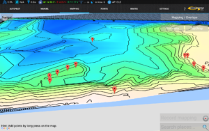
Mapping – lake Ecsed, Hungary
But it was a lot of theory. In photos, you can see the real mapping results from the recent expeditions. In April we stopped at the „mapping“ weekend at famous hungrian lake Ecsed. My mate mapped entire water surface in his boat and mapped it by AutoChart from Humminbird. I have mapped about 1/3 of the lake (approx. 10 ha) from one place by baitboat, and I also have selected interesting places directly on the map on the right and left of our site. I believe that from these saved points we will be able to catch (not only) one of the local mock-ups at our next visit to the lake.
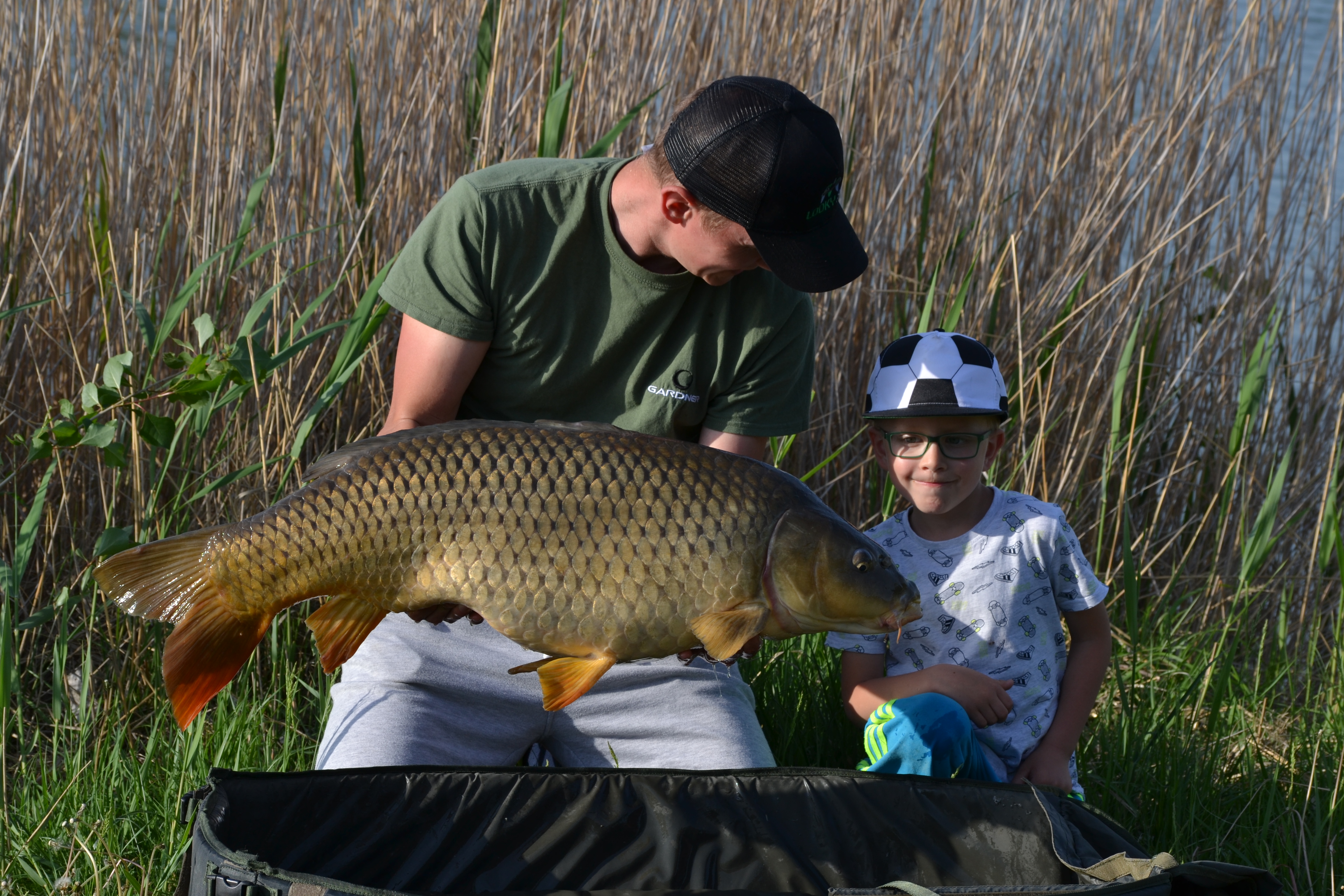
I did some mapping also on a short fish trip on a private local lake Cetín. I made it to the place no. 6, which I thoroughly mapped before placing my bait in the water. On the map in my tablet, I set the area in front of me with an acreage of about 100 x 100m. I was fascinated by two benches with a depth of up to 3m, where the fish were shown to me during the day. Within half an hour, a 15-kilo-sized common pleased me and my son, and there were also regular bites from both places. Although the fishing spots were only 50 meters from the bank, I was using my autopilot, as with the rigs, I also “fed” saved locations in the meantime.
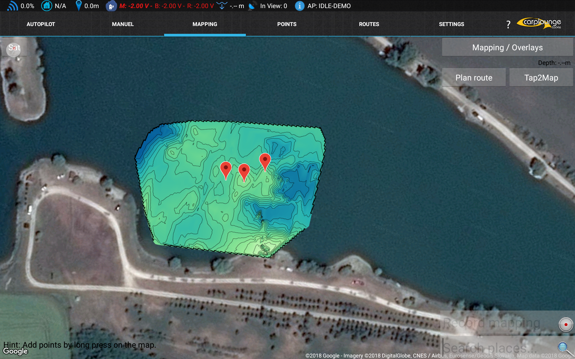
Mapping during fishing trip – Cetin, Slovakia
Another advantage of the Raymarine system is that all the maps from my trips uploaded during my missions can be later exported to a computer and modified in specialized software, e. g. Reefmaster. But more about this in the next article.
Result of proper mapping